Your Local Experts & Trusted Authority Since 1929
Planning | Surveying | Testing | Landscape Design
Your Local Experts & Trusted Authority Since 1929
Planning | Surveying | Testing | Landscape Design
Your Local Experts & Trusted Authority Since 1929
Planning | Surveying | Testing | Landscape Design
Count On Us For Professional Engineering & Surveying Solutions
Engineering Plus, Inc. is a locally owned and operated company with over 92 years of experience in this industry. Our goal is to provide high quality engineering services in a timely and professional manner. We strive to go above and beyond to meet and exceed the expectations clients, while providing them with satisfactory results. Our company specializes in site development, surveying, geotechnical investigation, testing and landscape design. We also can assist clients on obtaining permits necessary for the land or job site. Give us a call today at 601-693-4234 to learn more about our services and get started on your next project.
Count On Us For Professional Engineering & Surveying Solutions
Engineering Plus, Inc. is a locally owned and operated company with over 92 years of experience in this industry. Our goal is to provide the highest quality engineering services in a timely and professional manner. We strive to go above and beyond to meet and exceed the expectations clients, while providing them with satisfactory results. Our company specializes in site development, surveying, geotechnical investigation, testing and landscape design. We also can assist clients on obtaining permits necessary for the land or job site. Give us a call today at 601-693-4234 to learn more about our services and get started on your next project.
Our Services
Our Services
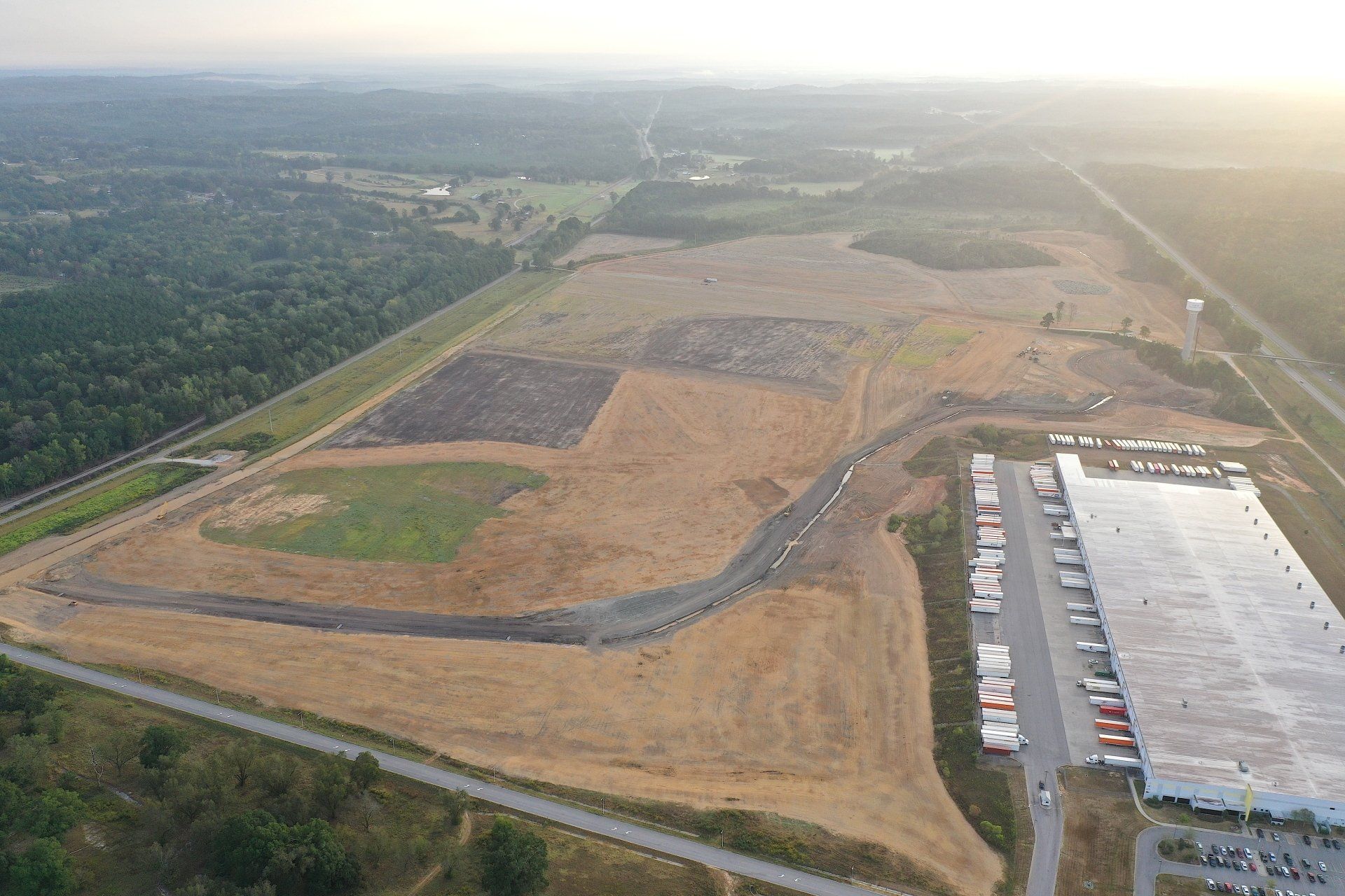
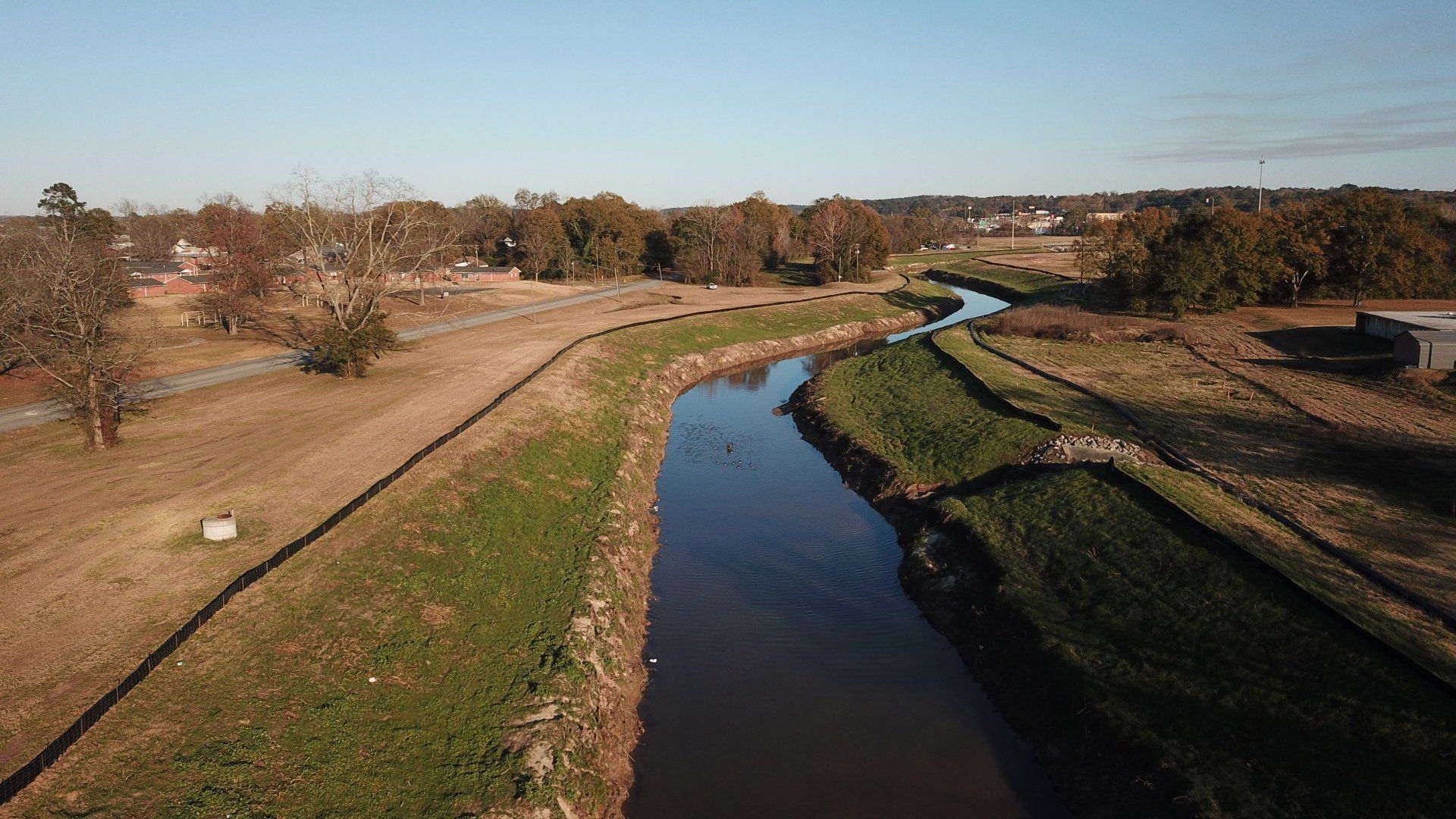
Site Development
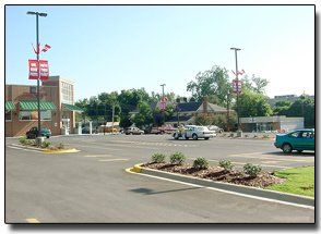
Engineering Plus offers underground utility installations for land clearing, surveying, overloading and grading for projects of all sizes, from small industrial and residential projects to major commercial and municipal projects. We have over 92 years of experiencing providing quality results for our clients.
Environmental Assessments
Our experienced engineers and scientists assess a wide variety of sites, including commercial and industrial land sites, for multiple contaminant sources. The existence and magnitude of pollutants are calculated and a strategy is developed to reduce or eliminate environmental liabilities.
Commercial & Industrial Landscape Design
Each phase of landscape design starts with a comprehensive assessment of the site and review of existing conditions. A landscape architect will make tentative decisions on features that will be implemented into the master site plan and those that will be altered or deleted based on these findings.
Commercial & Industrial Site Development
Engineering Plus offers underground utility installations for land clearing, surveying, and grading for projects of all sizes, from small industrial and residential projects to major commercial and municipal projects. We have over 92 years of experiencing providing quality results for our clients.
Environmental Assessments
Our experienced engineers and scientists assess a wide variety of sites, including commercial and industrial land sites, for multiple contaminant sources. The existence and magnitude of pollutants are calculated and a strategy is developed to reduce or eliminate environmental liabilities.
Landscape Design
Each phase of landscape design starts with a comprehensive assessment of the site and review of existing conditions. A landscape architect will make tentative decisions on features that will be implemented into the master site plan and those that will be altered or deleted based on these findings.
Constructions Materials Testing Lab
In addition to proper planning and design of projects. Engineering Plus has a soils, concrete and asphalt quality control laboratory with trained personnel. The lab has been inspected and certified and lab technicians have been tested and certified.
Geotechnical Engineering
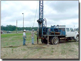
Engineering Plus performs geotechnical investigations utilizing a drill rig capable of collecting soil samples up to 100 feet deep. Soil parameters on collected samples are developed in our laboratory. Results of the lab testing are then utilized to determine suitability of the soils and for determination of the load carrying capacity.
Surveying
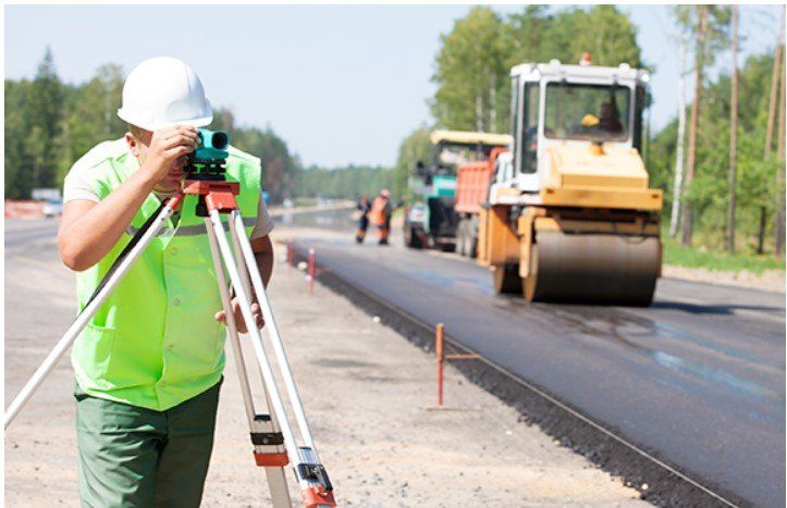
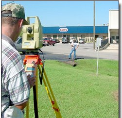
A broad variety of functions related to property boundaries, monumentation, surface topography and mapping are used in land surveying services. Corner recoveries, topographic site plans, subdivisions, mergers and lot line changes, easements, abandonments, building staking and flood level certifications may be used in particular programs.
Why Choose Engineering Plus?
Why Choose Engineering Plus?
Testimonials
“This is a great company. If you want or need a survey give them a call”
– Rance
“If you're in the meridian area, these guys are the best!!!”
– Brad

